◎

Sofia

Province
Street map Satellite map Countries
  • EN - English
  • BG - български
  • EL - ελληνικά
  • FR - French
  • DE - German
  • ES - Spanish
  • RO - Romanian
  • MK - Macedonian
  • HR - Croatian
  • TR - Türkçe
  • SQ - shqip
Bulgaria
StreetsSatellite
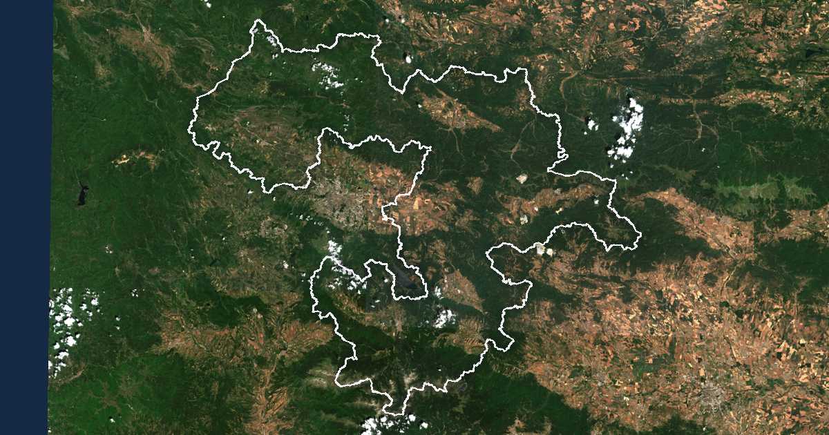
Satellite picture with the boundary drawn: Sofia Contains modified Copernicus Sentinel data 2025

Hierarchy

Child units

22
Samokov Municipality
33,375 →
Botevgrad Municipality
30,040 →
Elin Pelin Municipality
22,867 →
Svoge Municipality
18,184 →
Kostinbrod Municipality
17,391 →
Ihtiman Municipality
16,808 →
Kostenets Municipality
10,396 →
Etropole Municipality
10,268 →
Bozhurishte Municipality
9,318 →
Slivnitsa Municipality
8,478 →
Pravets Municipality
6,968 →
Pirdop Municipality
6,789 →
Gorna Malina Municipality
6,213 →
Godech Municipality
4,646 →
Zlatitsa Municipality
4,598 →
Dragoman Municipality
4,394 →
Dolna Banya Municipality
4,238 →
Mirkovo Municipality
2,156 →
Koprivshtitsa Municipality
1,852 →
Chelopech Municipality
1,453 →
Anton Municipality
1,385 →
Chavdar Municipality
1,129 →

Also written Sofia Oblast, област Софийска.

Sofia on

Google MapsBing MapsZoom EarthCopernicusWikipedia

GPS coordinates 42.725, 23.93

Somemaps Data: OpenStreetMap · Wikidata · АГКК · Ελληνικό Κτηματολόγιο Sitemap
Admin