◎

Godech

Municipality
Street map Satellite map Countries
  • EN - English
  • BG - български
  • EL - ελληνικά
  • FR - French
  • DE - German
  • ES - Spanish
  • RO - Romanian
  • MK - Macedonian
  • HR - Croatian
  • TR - Türkçe
  • SQ - shqip
Bulgaria › Sofia
StreetsSatellite
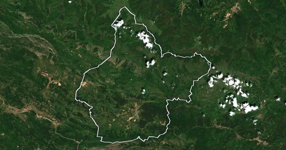
Satellite picture with the boundary drawn: Godech Contains modified Copernicus Sentinel data 2025

Hierarchy

Child units

20
Godech Town
3,858 →
Shuma Village
193 →
Gintsi Village
106 →
Tuden Village
100 →
Komshtitsa Village
63 →
Brakyovtsi Village
44 →
Golesh Village
37 →
Lopushnya Village
36 →
Razboishte Village
34 →
Murgash Village
33 →
Kalenovtsi Village
22 →
Varbnitsa Village
19 →
Barlya Village
18 →
Ropot Village
17 →
Bukorovtsi Village
16 →
Gubesh Village
16 →
Vradlovtsi Village
13 →
Stanyantsi Village
8 →
Smolcha Village
7 →
Ravna Village
6 →

Also written Godech Obshtina, община Годеч.

Godech on

Google MapsBing MapsZoom EarthCopernicusWikipedia

GPS coordinates 43.051, 23.045

Somemaps Data: OpenStreetMap · Wikidata · АГКК · Ελληνικό Κτηματολόγιο Sitemap
Admin